

Application Description
Introducing the definitive HEMAV app, designed to revolutionize how you monitor your fields right from your mobile device. This powerful tool harnesses the synergy of Artificial Intelligence with cutting-edge drone and satellite technology to deliver comprehensive agronomic reports and recommendations through HEMAV LAYERS.
With the HEMAV app, you can:
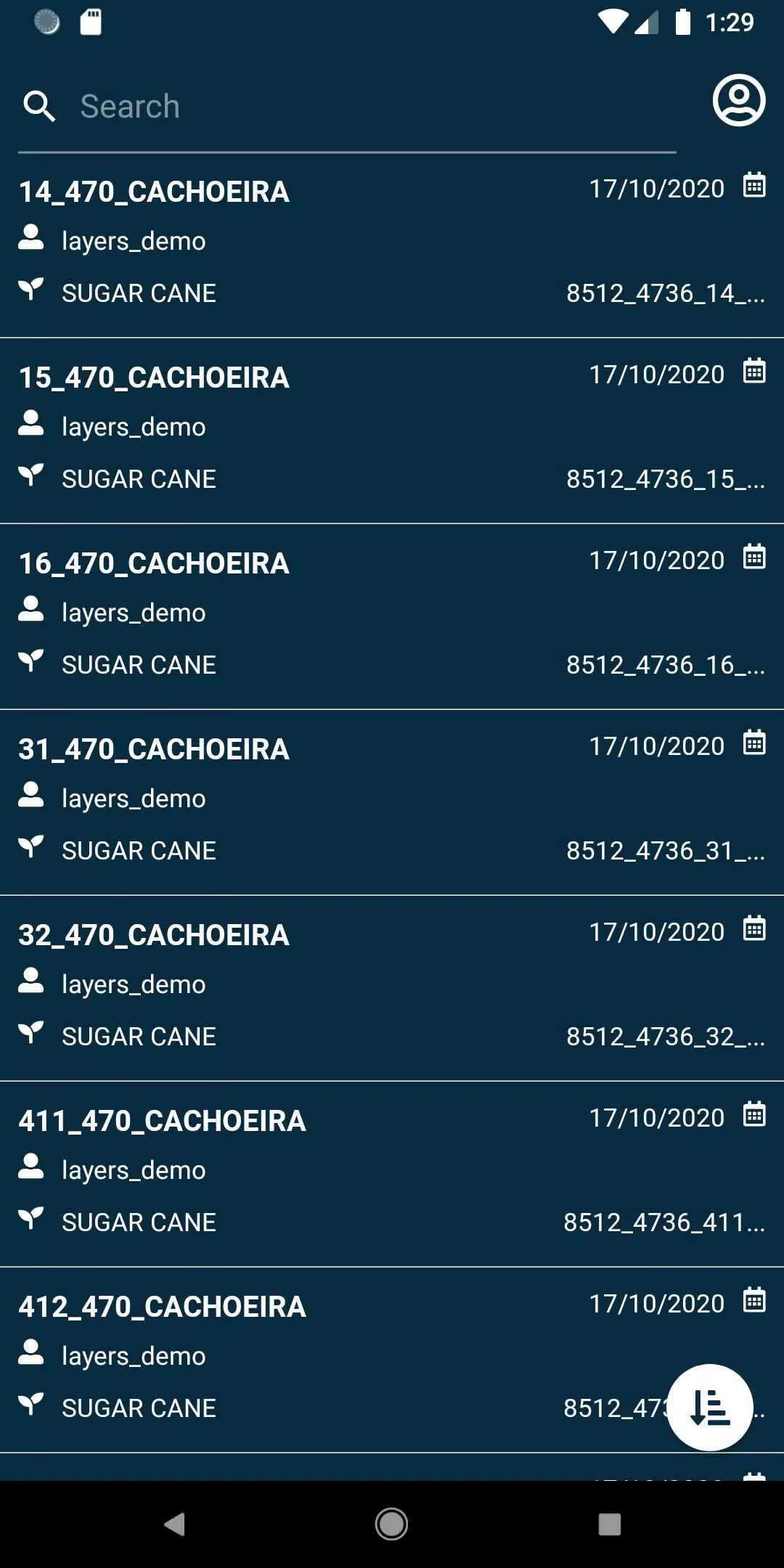
- View your fields with ease.
- Search through your fields using a multitude of filters to find exactly what you need.
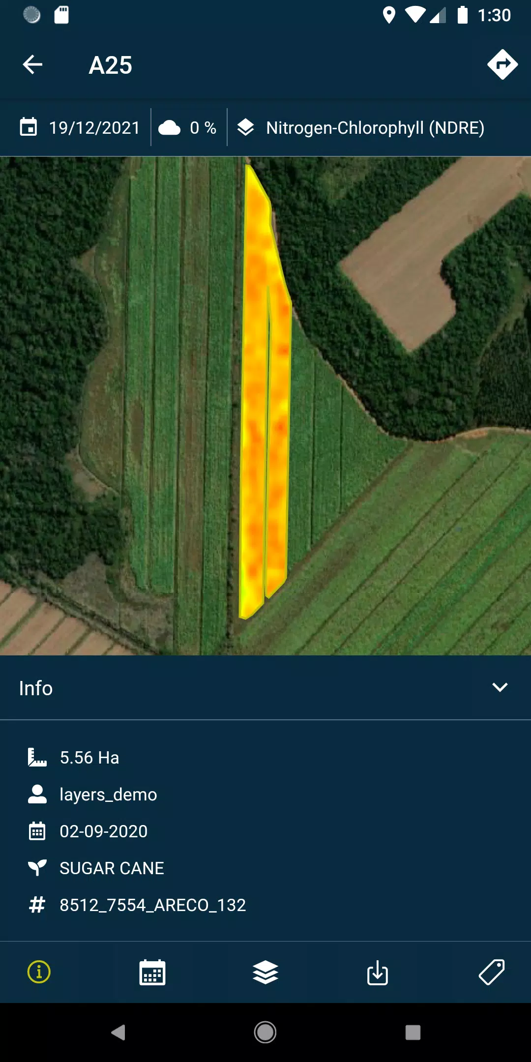
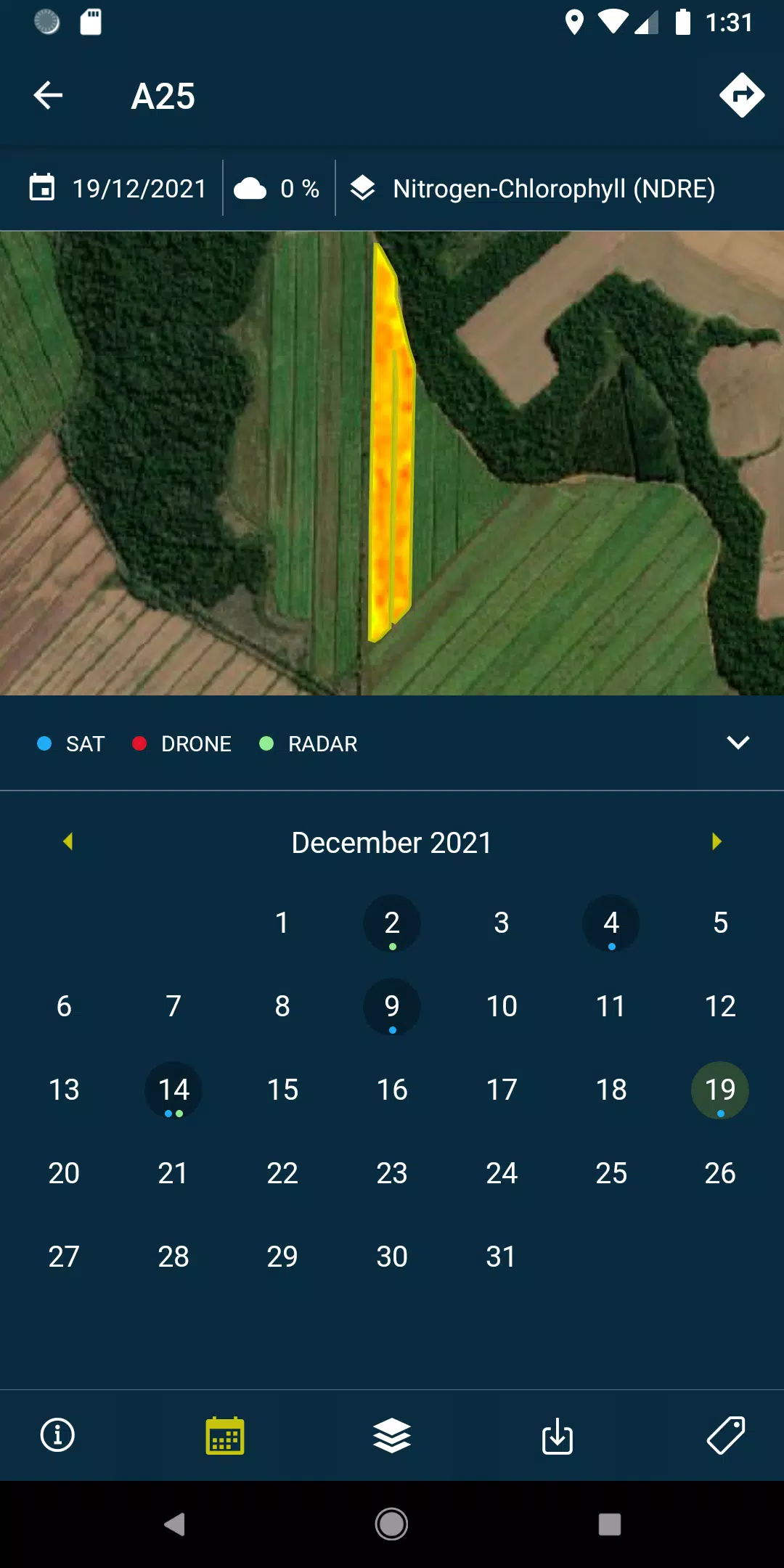
- Access layers, which include detailed reports and recommendations, along with PDFs generated from each flight or satellite pass over your fields. This feature is available both online and offline for your convenience.
- Capture and geolocate field photos, adding comments to maintain thorough control and documentation of your agricultural assets.
- Conduct field surveys and seamlessly integrate them into the HEMAV system for further processing and analysis.
Please note, to fully leverage the capabilities of the HEMAV app, a subscription to HEMAV products is required.
About HEMAV Precision Agriculture Service:
HEMAV's precision agriculture service utilizes the advanced LAYERS software, driven by Artificial Intelligence. This innovative approach provides the agricultural sector with tailored agronomic recommendations, enhancing treatment efficiency and enabling accurate crop production estimates in terms of both quantity and quality.
What's New in the Latest Version 2.8.5
Last updated on Oct 19, 2024
- Bug fixes: resolved issues with pending sample uploads and enhanced cloud coverage filtering for more precise data analysis.
Layers Screenshots
Reviews
Post Comments
Trending Games
Trending apps


Latest Articles
More


Top Pokémon for 2025: Unite Tier List Revealed
Apr 28,2025
"Minecraft Guide: Obtaining Armadillo Scutes"
Apr 28,2025