

Application Description
Transform your smartphone into a robust off-road GPS navigator with offline topographic maps! With AlpineQuest, you can enjoy a seamless outdoor experience without the distractions of **advertisements, data sharing, monetization, analytics, or third-party libraries**.
AlpineQuest is the ultimate tool for a variety of outdoor activities and sports, including hiking, running, trailing, hunting, sailing, geocaching, and off-road navigation. You can access and store a vast array of **online topographic maps locally**, ensuring they remain accessible even without cellular coverage. Additionally, the app supports numerous **on-board file-based raster map formats**.
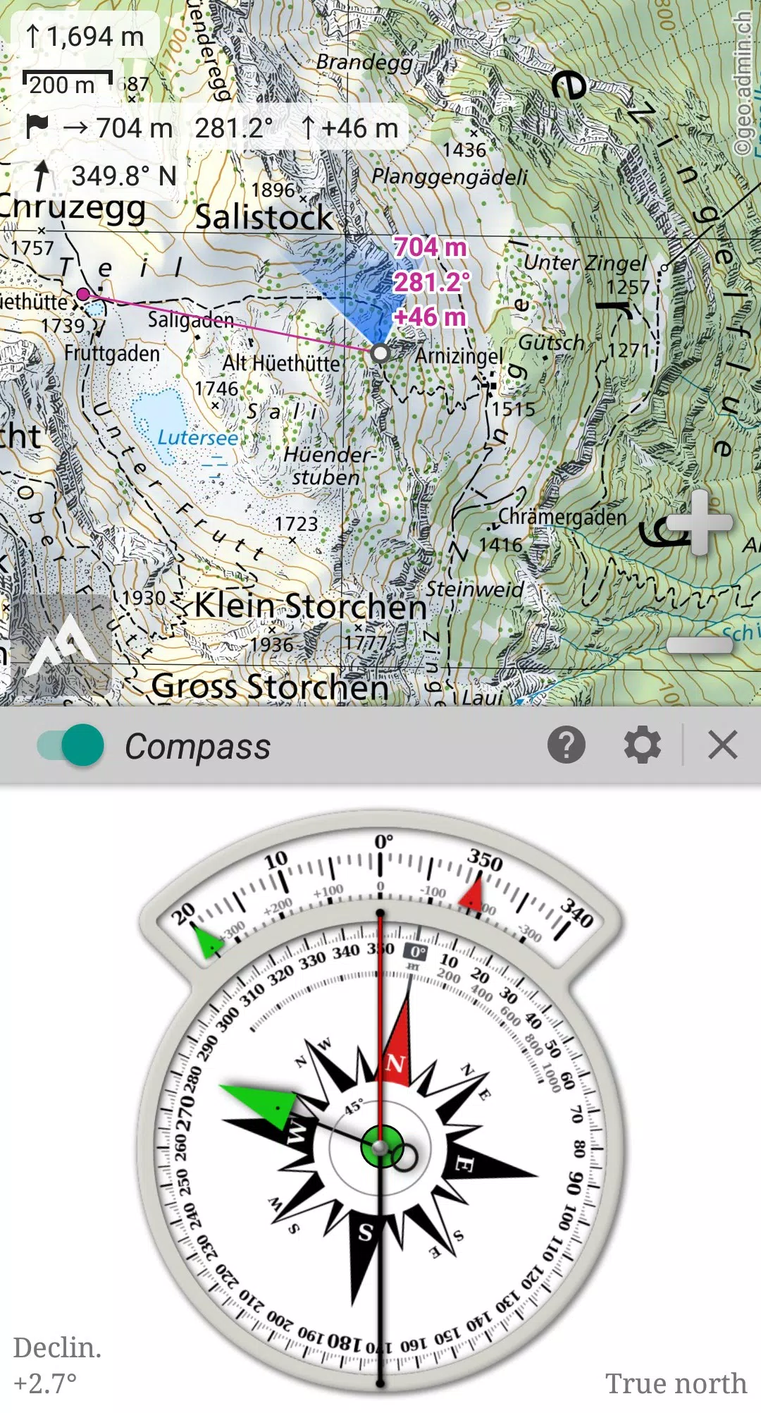
Leverage your device's GPS and magnetic sensor, complete with a compass display, to ensure you're always precisely located on the map in real-time. The map can even be oriented to align with your current view, making navigation intuitive and straightforward.
Save an unlimited number of **placemarks** and easily share them with your friends. Track your journey and access **advanced statistics and interactive graphics** to enhance your understanding of your adventures. AlpineQuest remains fully operational even without cell coverage, making it perfect for deep wilderness exploration.
Why wait? Download the **Lite version for free** and start your adventure today!
For any suggestions or issues, please visit our dedicated forum at https://www.alpinequest.net/forum (no registration required, and all questions are answered promptly) rather than leaving comments.
Key Features (Full Version):
★★ Maps ★★
- Built-in **online maps** with **automatic local storage** including road, topo, and satellite maps, along with **online layers** like road names, hillshade, and contours.
- Access additional online maps and layers from the community maps list, featuring major worldwide and local topo maps.
- Complete **area storage** for offline use of online maps.
- Support for **on-board offline maps** (raster) including KMZ Overlays, OziExplorer OZFx2, OZFx3 (partial), calibrated images, GeoTiff, GeoPackage GeoPkg, MbTile, SqliteDB, and TMS zipped tiles. Visit our website for MOBAC, the free map creator.
- Support for **QuickChart Memory Maps** (.qct maps only, .qc3 maps not compatible).
- Built-in **image calibration tool** to transform any scan or picture into a usable map.
- **Digital elevation model** storage (1-arcsec SRTM DEM) and support for **HGT** elevation files (1-arcsec and 3-arcsec resolutions) for displaying terrain, hillshade, and steep slopes.
- Support for **polar maps** (Arctic and Antarctic).
- Display multiple **maps in layers** with customizable opacity, contrast, color, tint, and blending settings.
★★ Placemarks ★★
- Create, display, save, and restore an **unlimited number of items** such as waypoints, routes, areas, and tracks.
- Import and export **GPX**, **Google Earth KML/KMZ**, and **CSV/TSV** files.
- Import **ShapeFile SHP/PRJ/DBF, OziExplorer WPT/PLT, GeoJSON, IGC tracks, Geocaching LOC** waypoints and export **AutoCAD DXF** files.
- Save and share online locations with the community using Community Placemarks.
- Access **details, advanced statistics, and interactive graphics** for various items.
- Use the Time Controller to replay time-tagged tracks.
★★ GNSS Position / Orientation ★★
- On-map geolocation using your device's GNSS receivers (GPS/Glonass/Galileo/...) or network.
- Map orientation, **compass**, and target finder features.
- Built-in **GNSS/Barometric track recorder** that operates in a separate, light process, capable of long tracking while recording battery levels and network strength.
- Proximity and leave path alerts.
- Barometer support for compatible devices.
★★ And More ★★
- Support for metric, imperial, nautical, and hybrid distance units.
- Various latitude/longitude and grid coordinate formats (WGS, UTM, MGRS, USNG, OSGB, SK42, Lambert, QTH, etc.) with on-map grids display.
- Ability to import hundreds of coordinate formats from https://www.spatialreference.org.
- ...
What's New in the Latest Version 2.3.8d
Last updated on Aug 14, 2024
2.3.8b/c/d
- Added a new setting to customize the display style and side of the menu bar.
- Enhanced support for recent Android versions.
- Improved backup and restore functionalities.
- Updated default URL for sharing coordinates as text.
- Option to set the application's "Media" folder as the default for placemarks, icons, pictures, and file-based maps.
- Added Croatian and Persian translations.
- Various improvements and bug fixes.
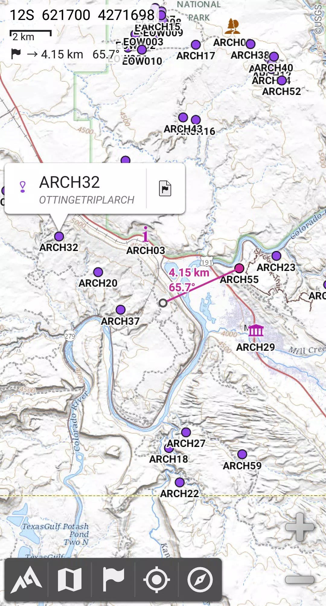
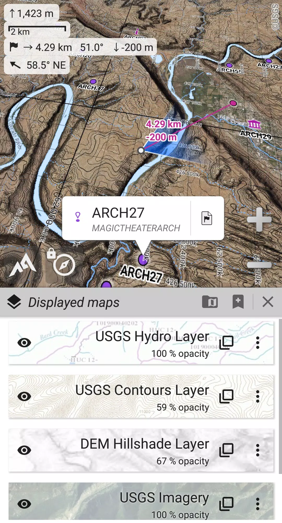
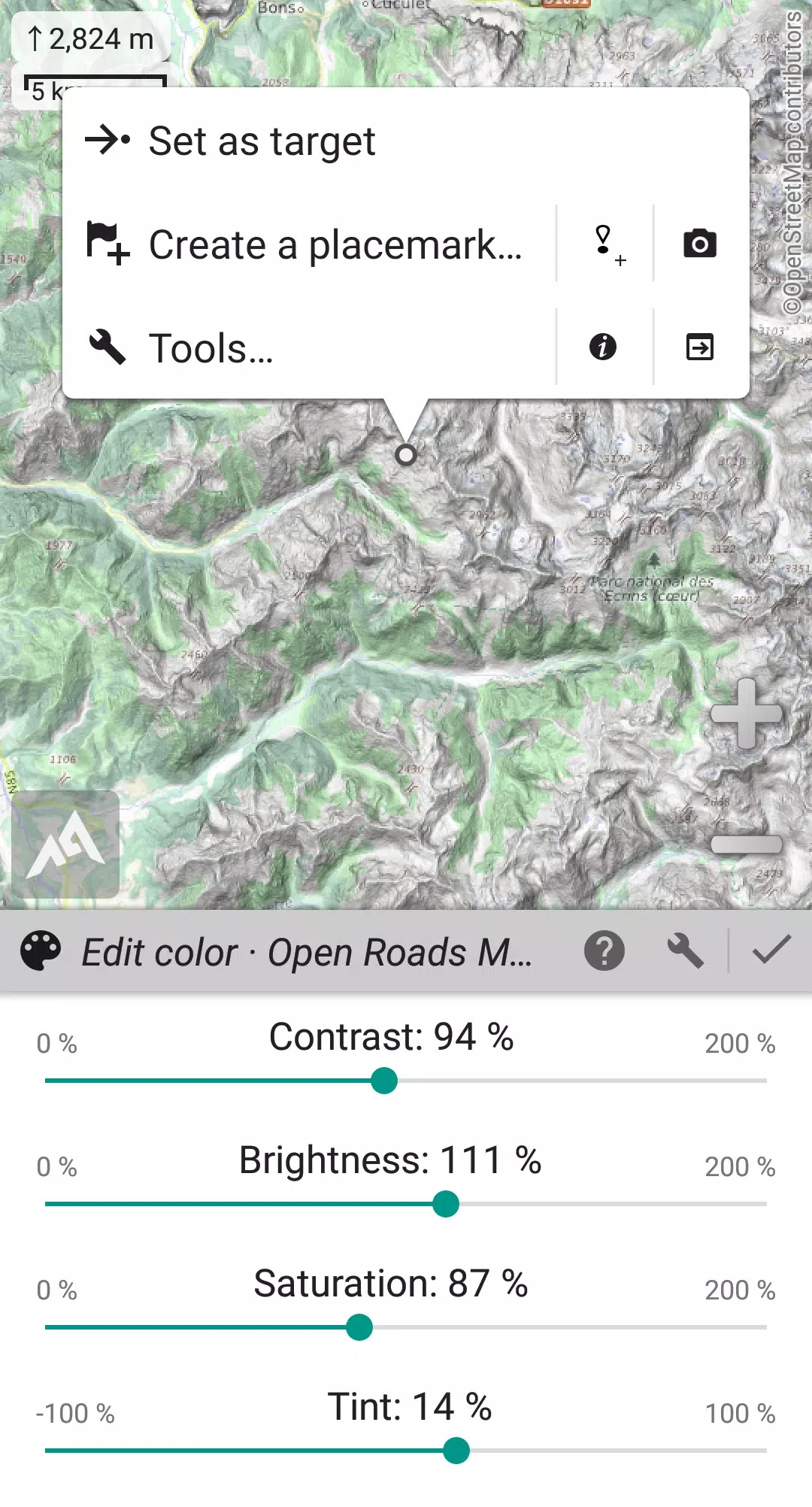
AlpineQuest Explorer Lite Screenshots
Reviews
Post Comments
Trending Games
Trending apps


Topics
More
Best Tools for Home Improvement Projects
Fun Educational Games to Learn and Play
Immersive Strategy Games: Dive into Tactical Combat
Hyper-Casual Games: Fun and Addictive Mobile Games
Essential Tools for Everyday Life
Top Lifestyle Apps to Enhance Your Life
Top-Rated Adventure Games to Play Now
Best Strategy Games for Android
Latest Articles
More


Disney Plus January 2025: Top Deals and Bundles
Apr 25,2025
Delta Force Mobile Launch Set for Next Month
Apr 25,2025